1.2 AgriWatch

Geospatial solutions for precision agriculture
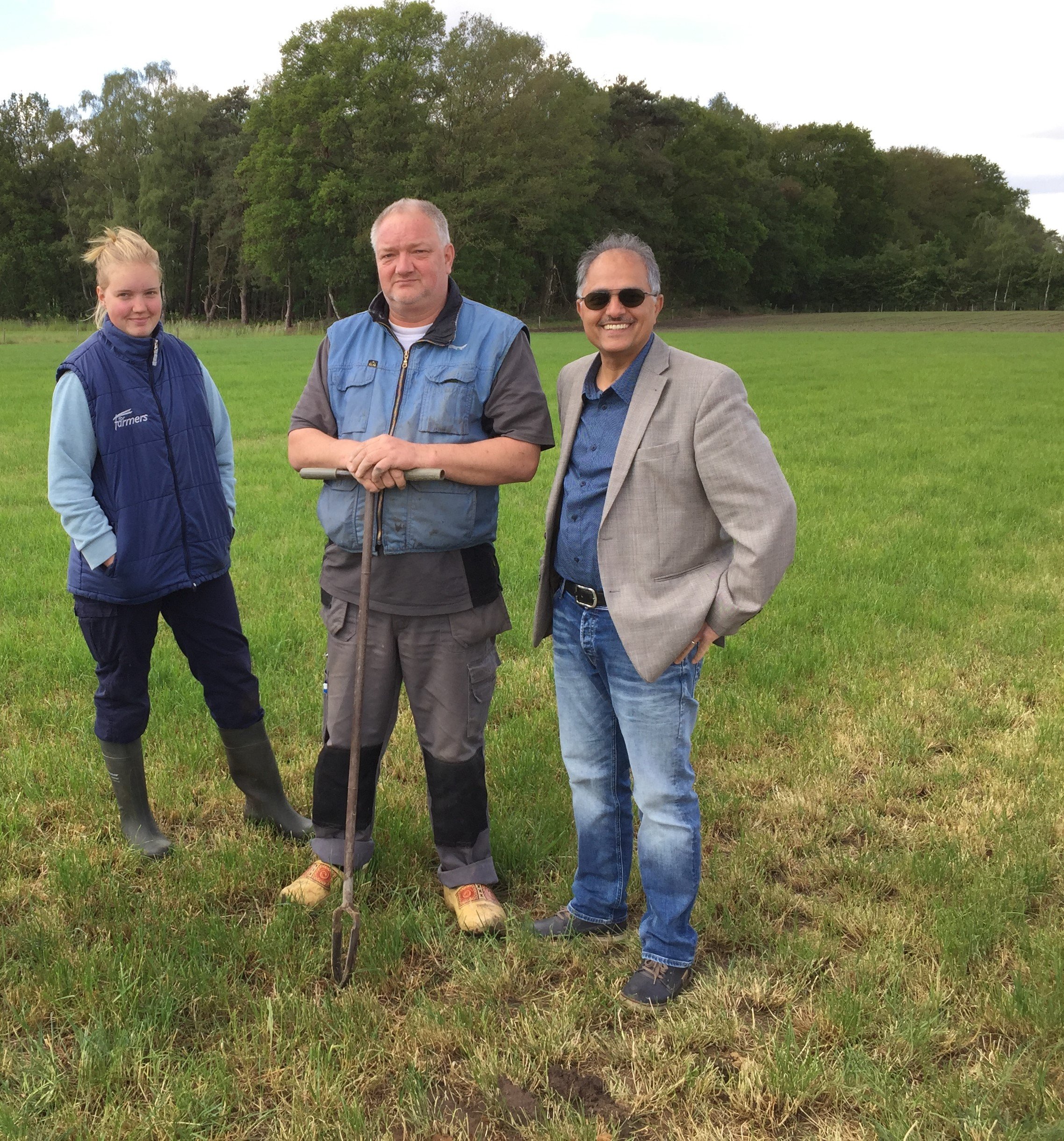
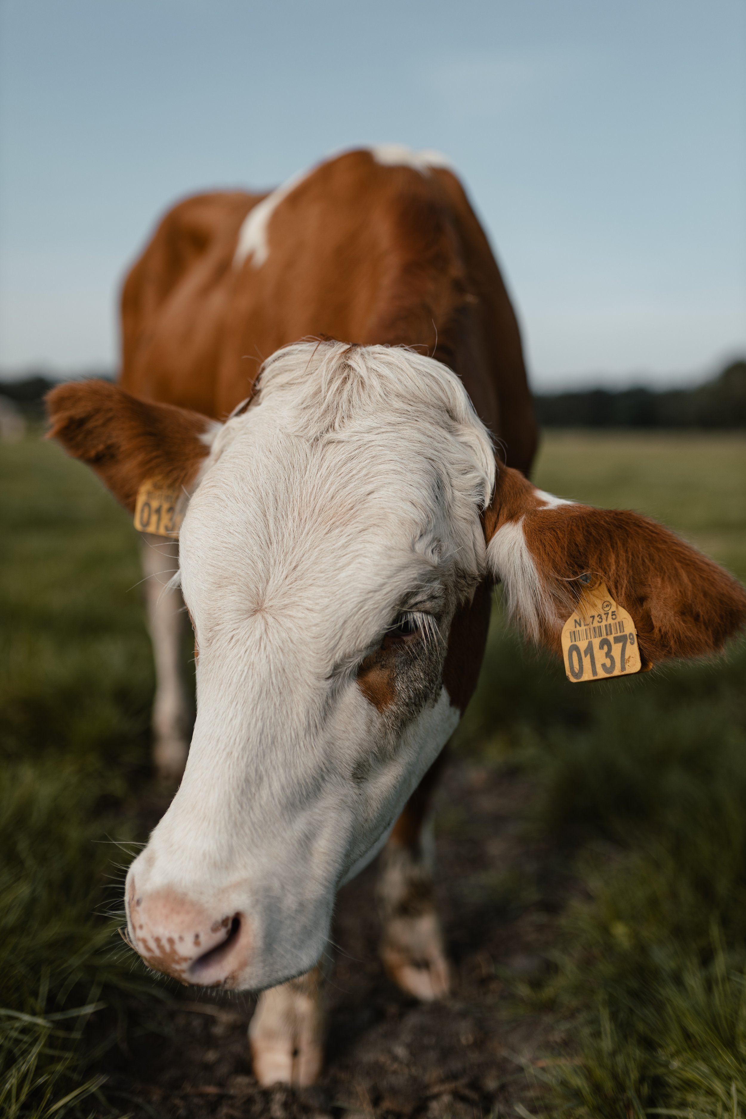
AgriWatch offers GeoSpatial Solutions for Precision Agriculture/Smart Farming with emphasis on the effects of climate change resulting in drought and other extreme climatic conditions. It focuses on affordable remote sensing data acquisition and monitoring services by integrating remote sensing (satellite, airborne, drone platforms) data, GIS (maps) data and expert knowledge. The most relevant market segment for the initial introduction of the new services developed in AgriWatch is Remote and Local Sensing for collecting high spatial-spectral data of agricultural fields and monitoring including predictive modelling. As such, AgriWatch engages with farmers and farm managers to manage site-specific crop issues by offering technology solutions.
AgriWatch advises farmers by using Geospatial Knowledge in Agriculture under new climate conditions such as drought.
PERSONAL CONTACT,
APPLYING PRACTICAL KNOWLEDGE,
TAILOR-MADE SOLUTIONS
For more info see: https://www.agriwatch.nl/about
We need to pay more attention to climate-smart agriculture, e.g., drought effect monitoring. We must prepare for an increased risk of more frequent and severe drought conditions.
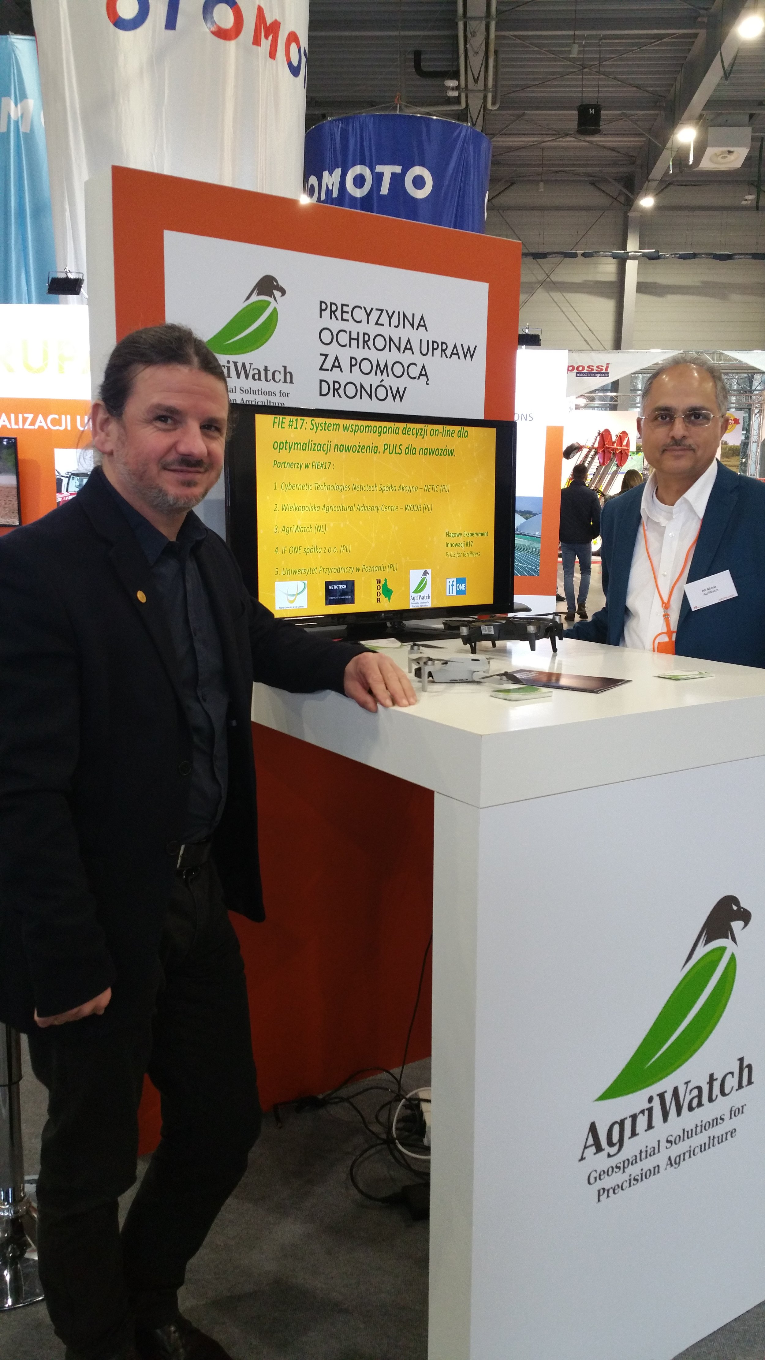
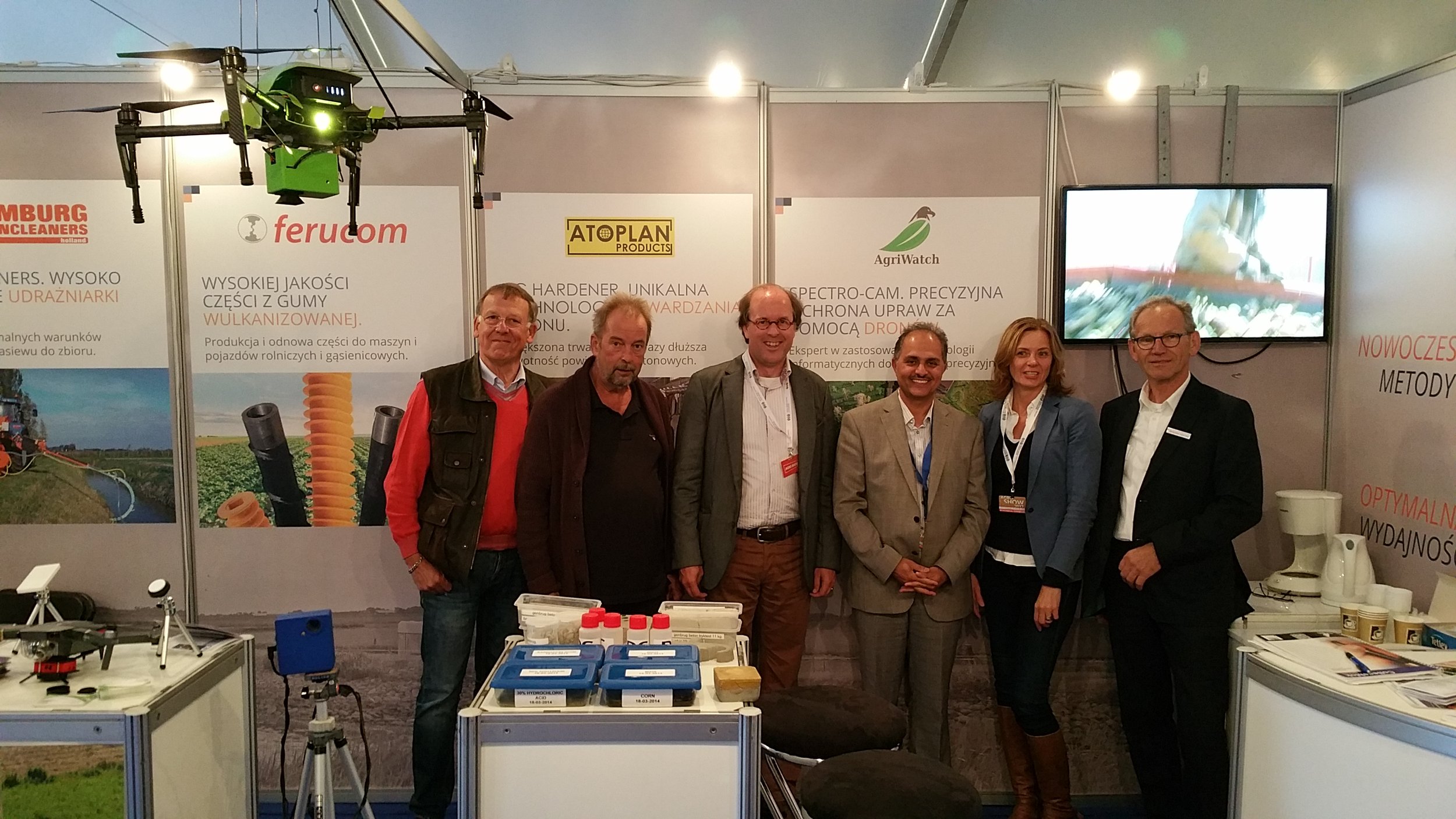
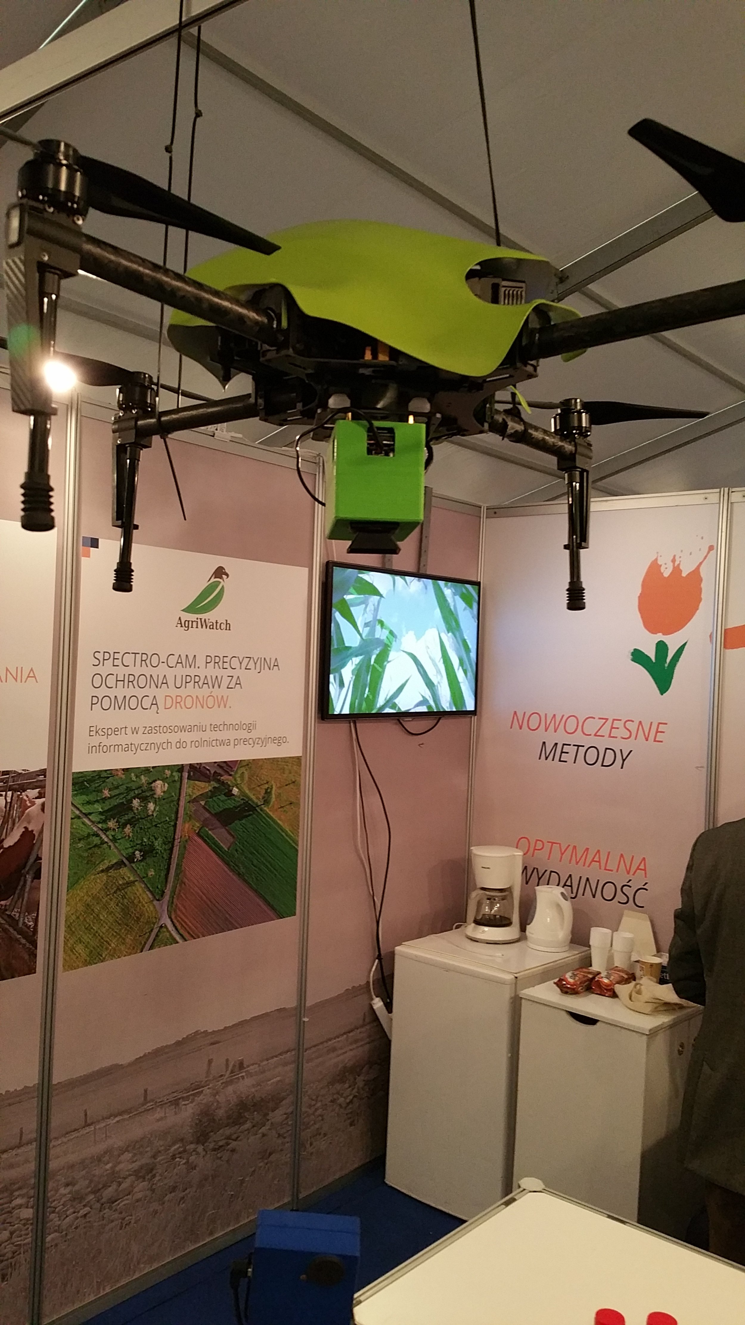
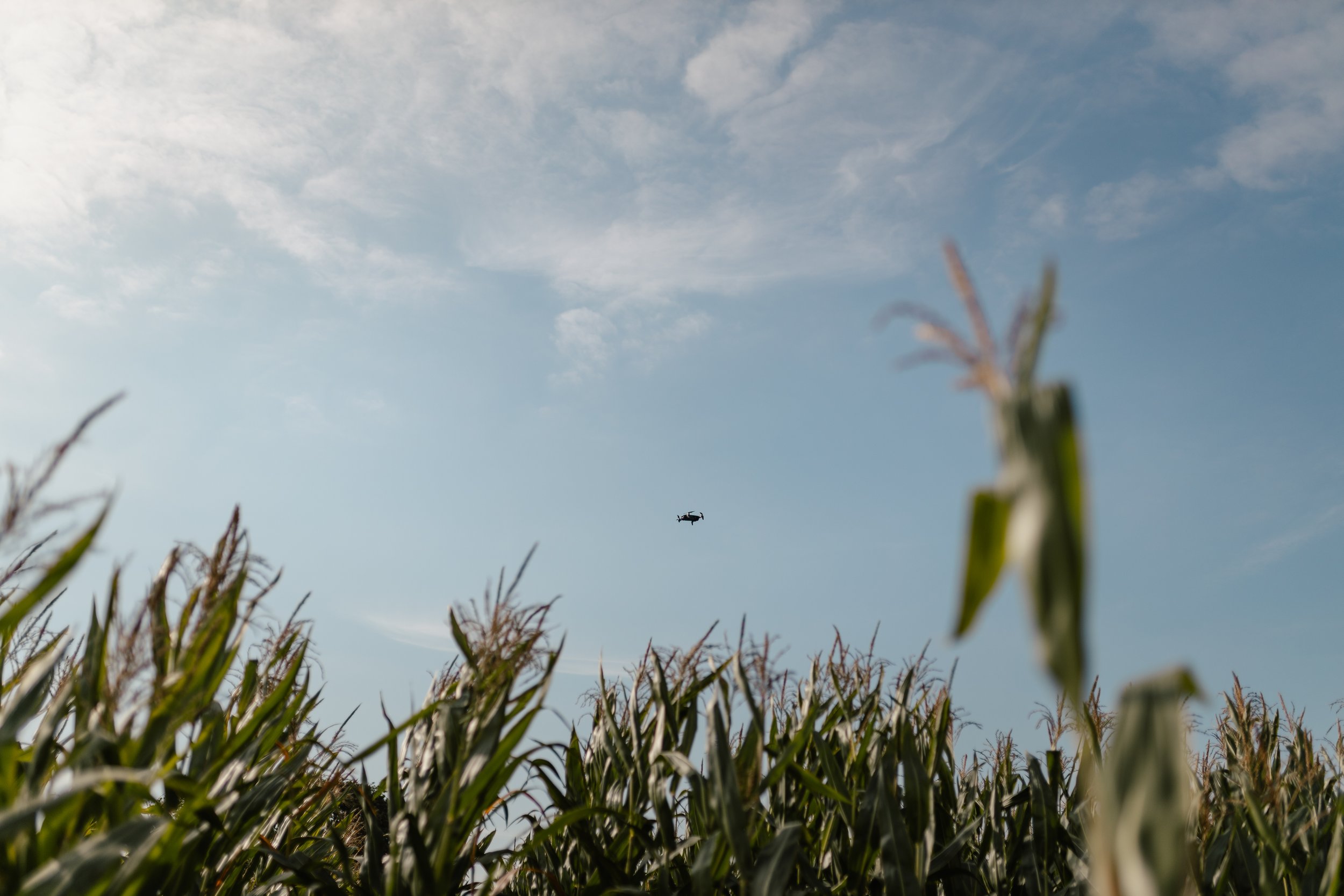

AgriWatch has the expertise in building and maintaining agricultural and environmental data acquisition and Information Management Systems. AgriWatch solutions rely on Sensor Networks, UAVs, Robotic and Mechanization, the Internet of Things, Big Data and Cloud Computing and Geo-ICT technologies.
AgriWatch can contribute to the development of Geo-ICT products (applications and e-Services), mapping, and development of an algorithm for data fusion. AgriWatch is interested to transform innovative ideas (and data) into new applications and services and create online applications and services in sustainable agriculture using drones and hyperspectral images, based on needs assessment.
Services
Consultancy,
Crop monitoring,
Drought monitoring,
Collection of ground truth,
Management Zones delineation,
Capacity building, practical training and internships,
Field visits and Agri-Tours.
Conclusions and Recommendations
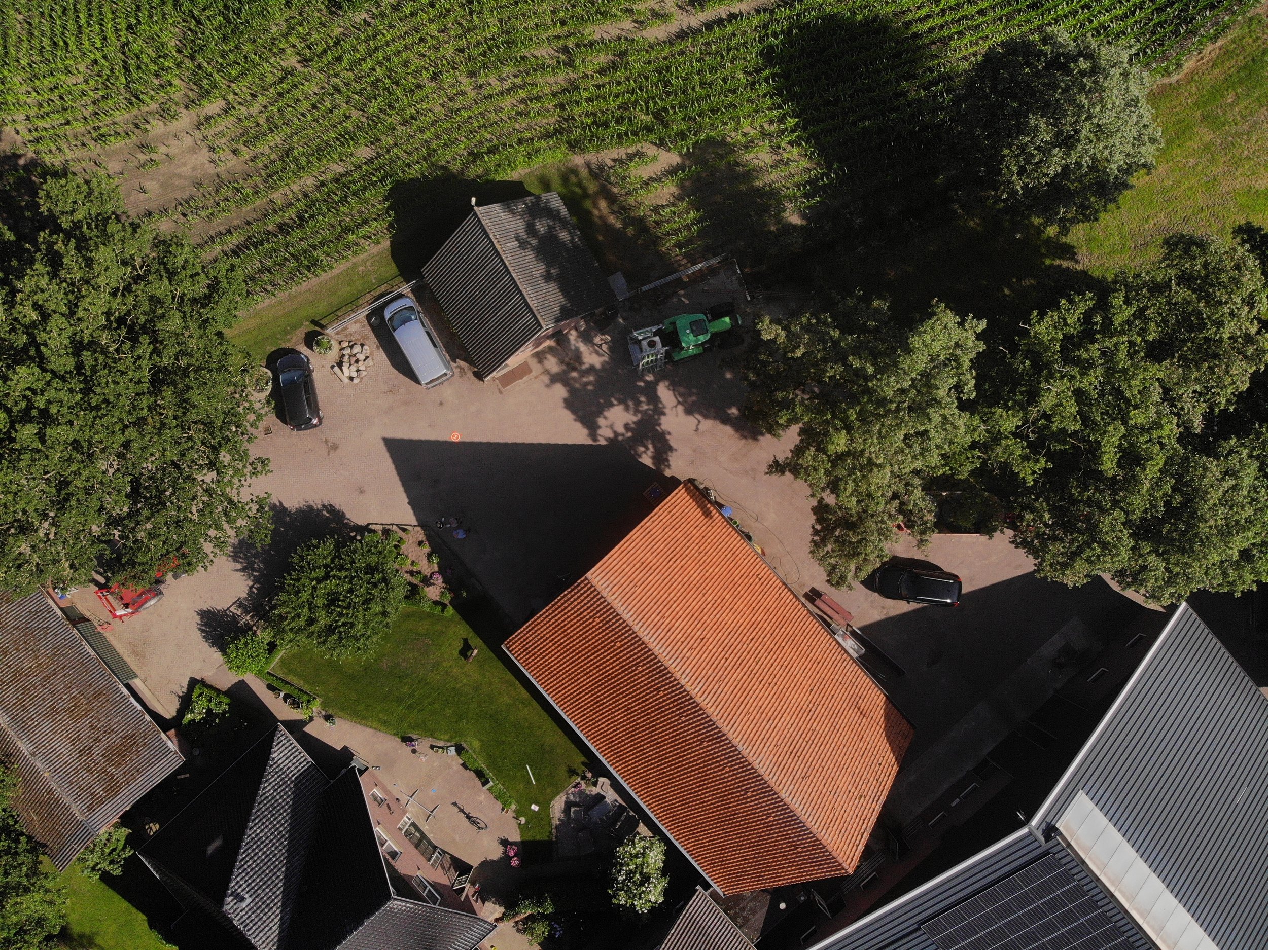
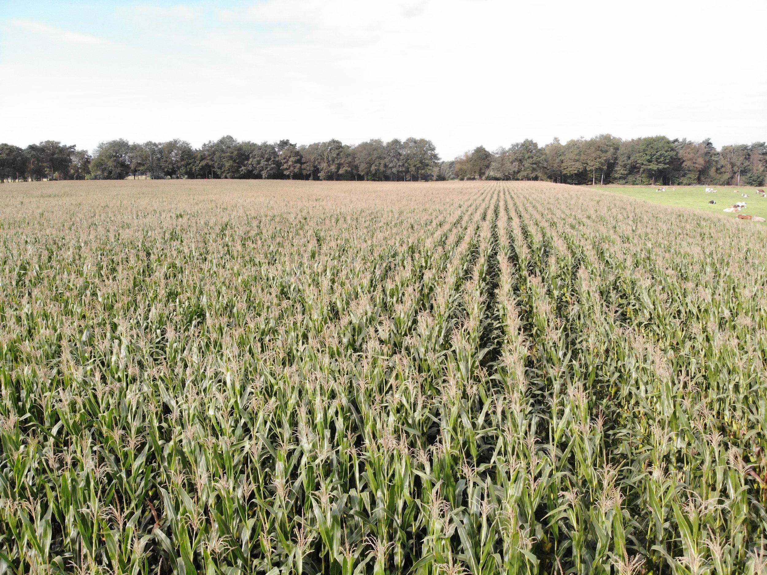
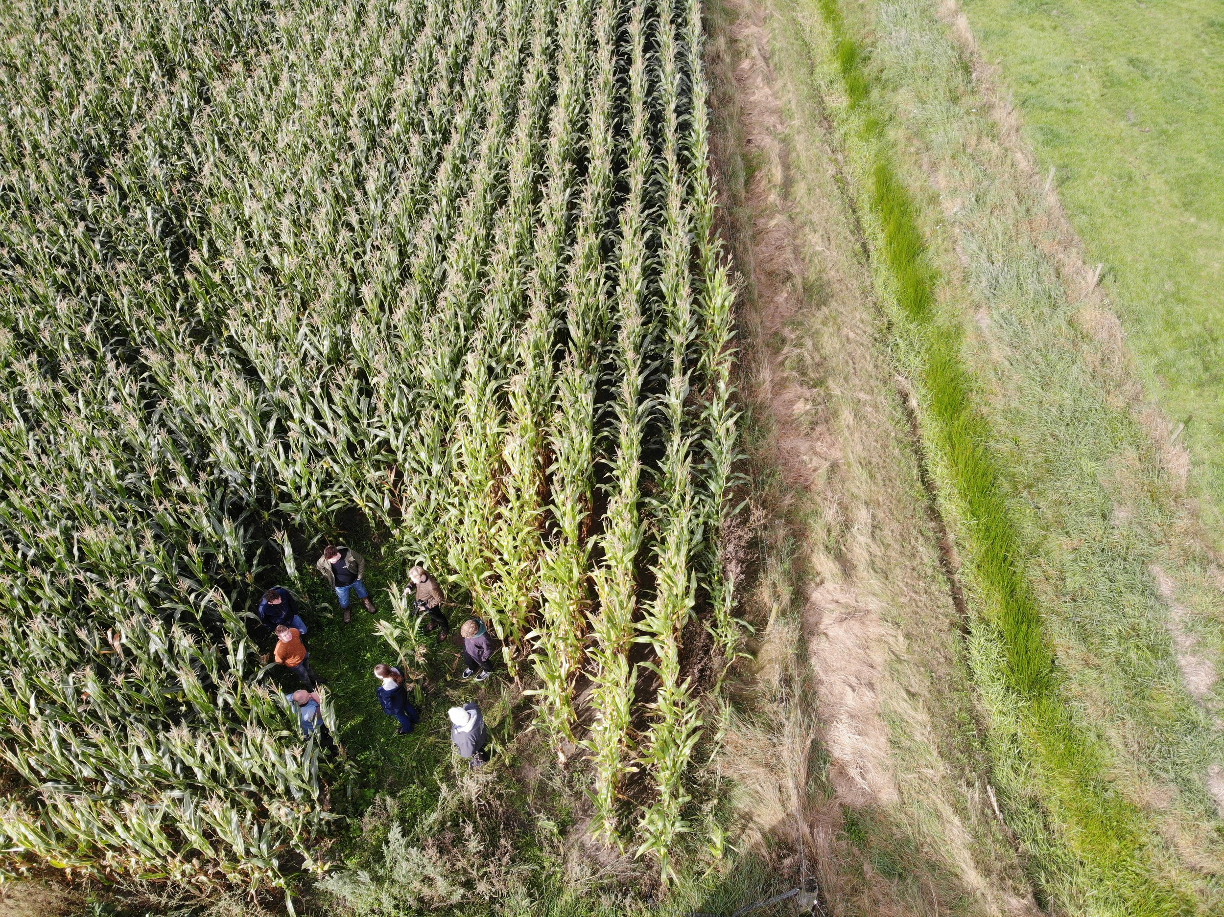
We combined different types of platforms and technologies, from satellites to Unmanned Aerial Vehicles (UAVs), for monitoring the occurrence of severe photosynthetic stress (severe drought, extreme heat, severe nutrient deficiency, severe foliar disease).
By utilizing computer-assisted analysis of satellite and drone data, along with the systematic use of knowledge from application domain experts.
We provide a cost/benefit analysis over a small set of drone-based sensors and products in order to support farmers and Agri-contractors.
Also, working on the inventory of known information with farmers and related parties and preparing an early warning (forecast) mechanism to raise drought awareness and drought risks in the Twente region and providing support to overcome the crises of climate change with minimal damage.
The mitigation of drought stress by proper awareness, planning and measures!
In addition, other issues of interest to address these challenging issues are:
set-up, up and organise demonstration visits, workshops, competitions, Science Tours, internships and short training courses;
use and integration of local 'indigenous knowledge’ and the new technology;
facilitate the exchange, flow and co-creation of knowledge through knowledge portals

Assist farmers in precision agriculture under new climate conditions: A practical insights