3.4 Field report 29 April 2022 - Soil, Building weirs in the ditches, Internship
Observation:
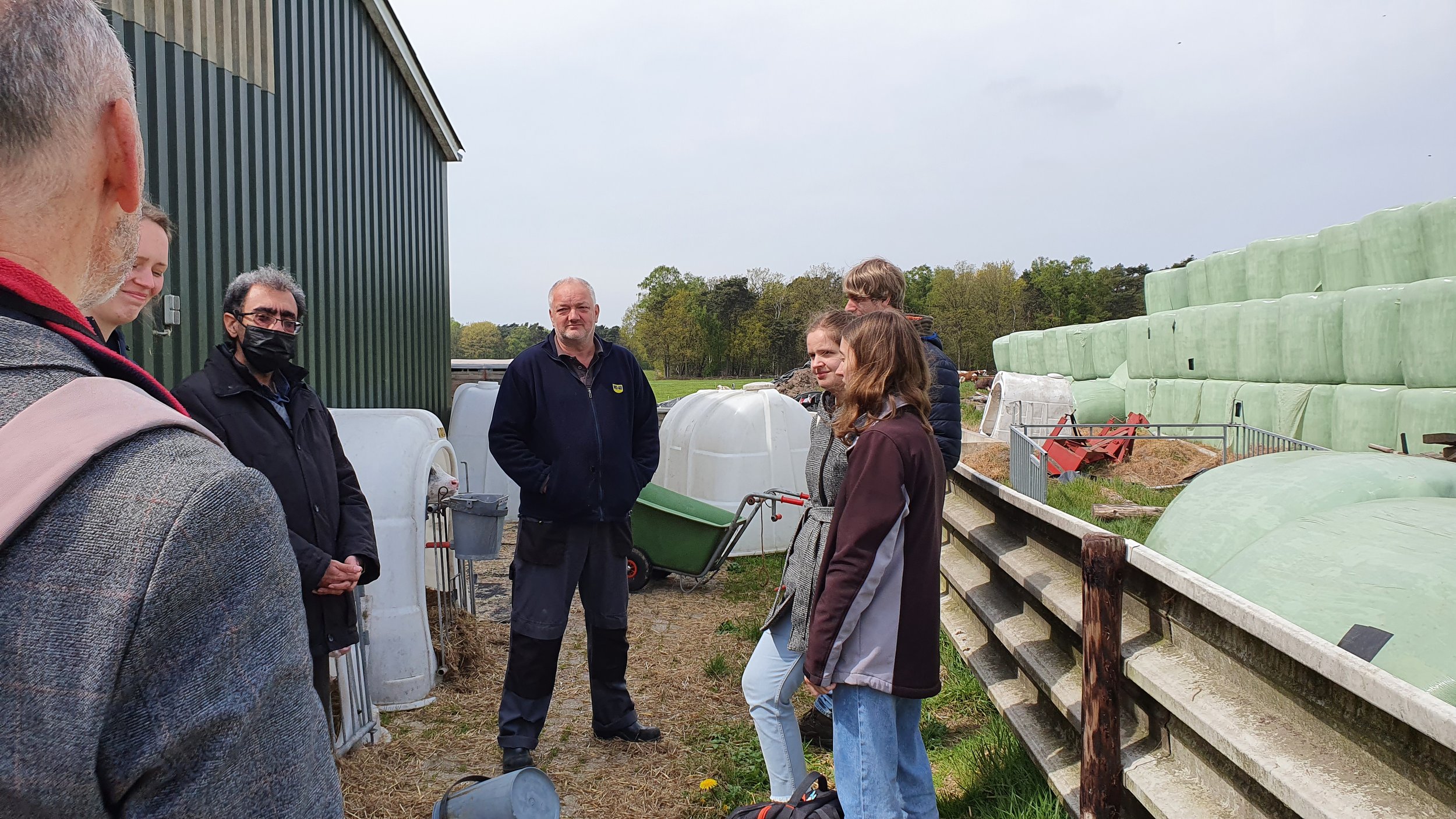
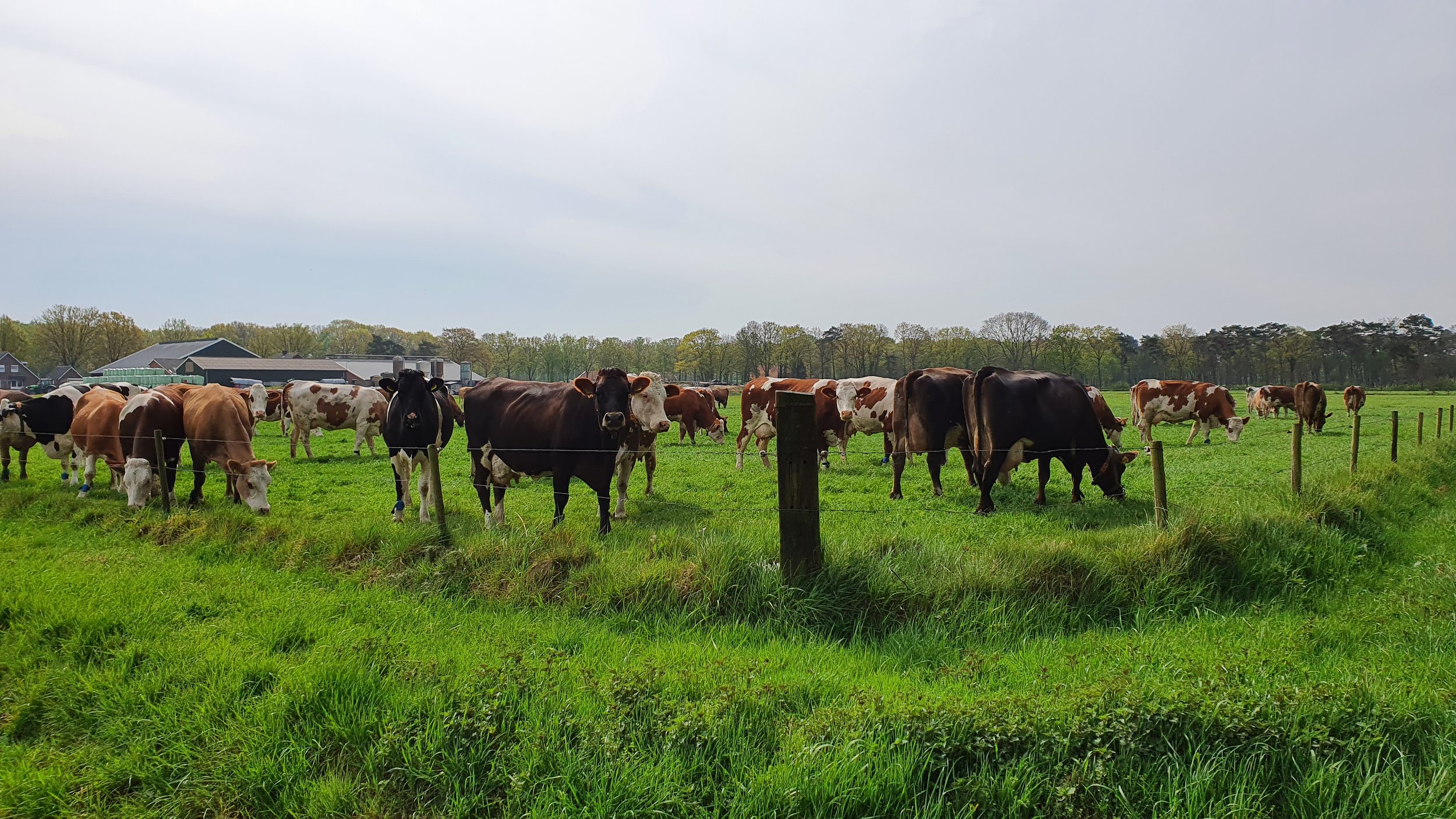
Visited the dairy research farm including, a family farm operation, cow-calf, barn/cow housing, two robotic milking machines, machinery, farm data management, grass and maize production.
As the cloud-free Sentinel-2 data (10 x 10 m and 13 spectral bands) from the study area were available from 27 April 2022, a field visit on 29 April 2022 from 09:00 - 16:00 was executed.
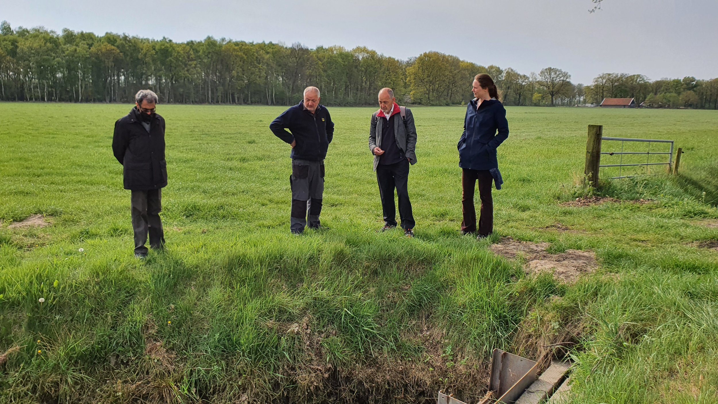
Four staff from the AgriWatch and three interns from Saxion Smart Solutions Semester.
Three staff from the research farm.
Visit the drainage and rainwater harvesting system.
The flight plans and parameters settings for the drone data acquisition on April 29, 2022 in AgriWatch test Farm Maize#1 before planting maize seeds.
Post-processing and analysis of the drone images to visualize spatial patterns or segments.
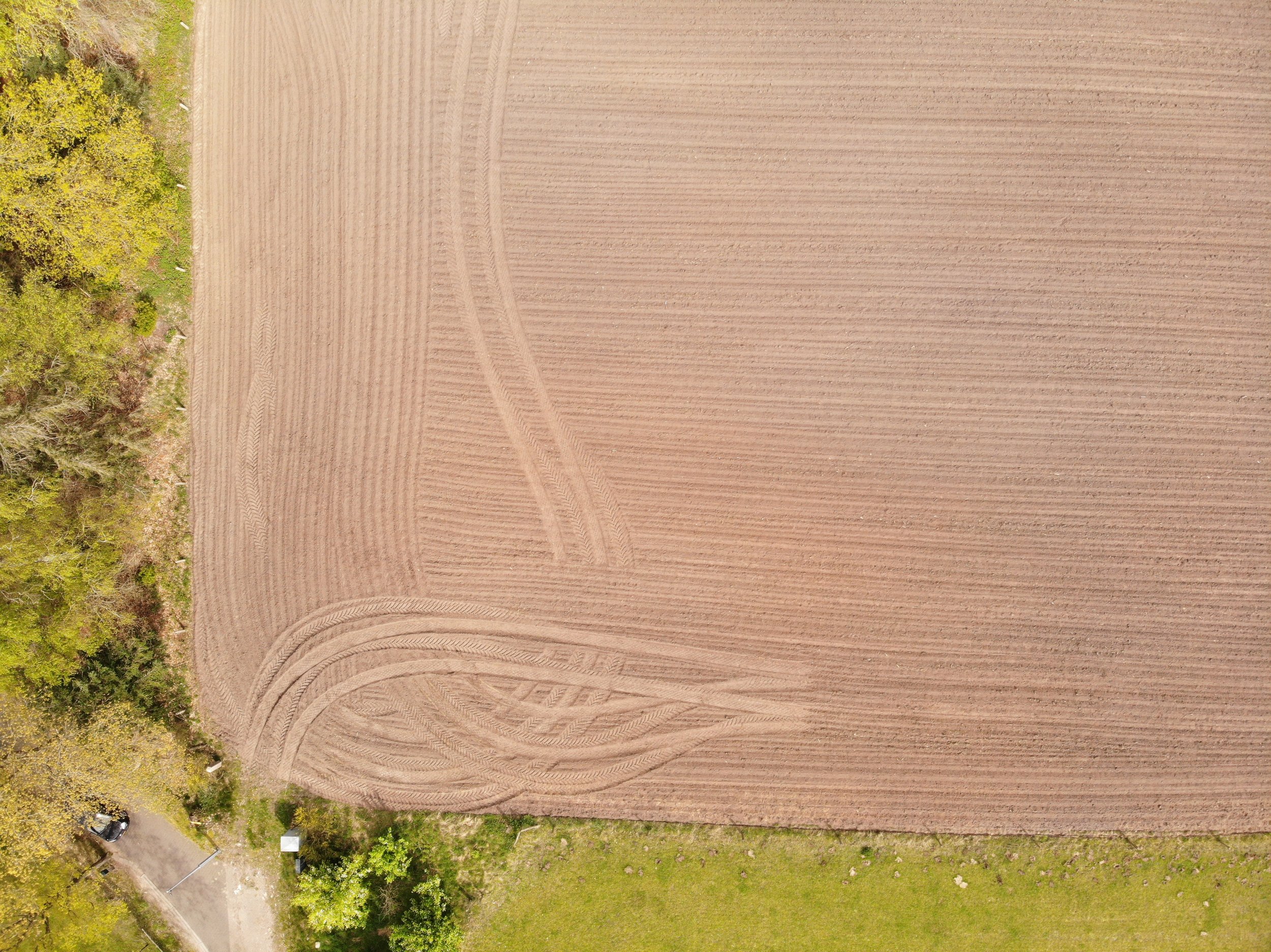
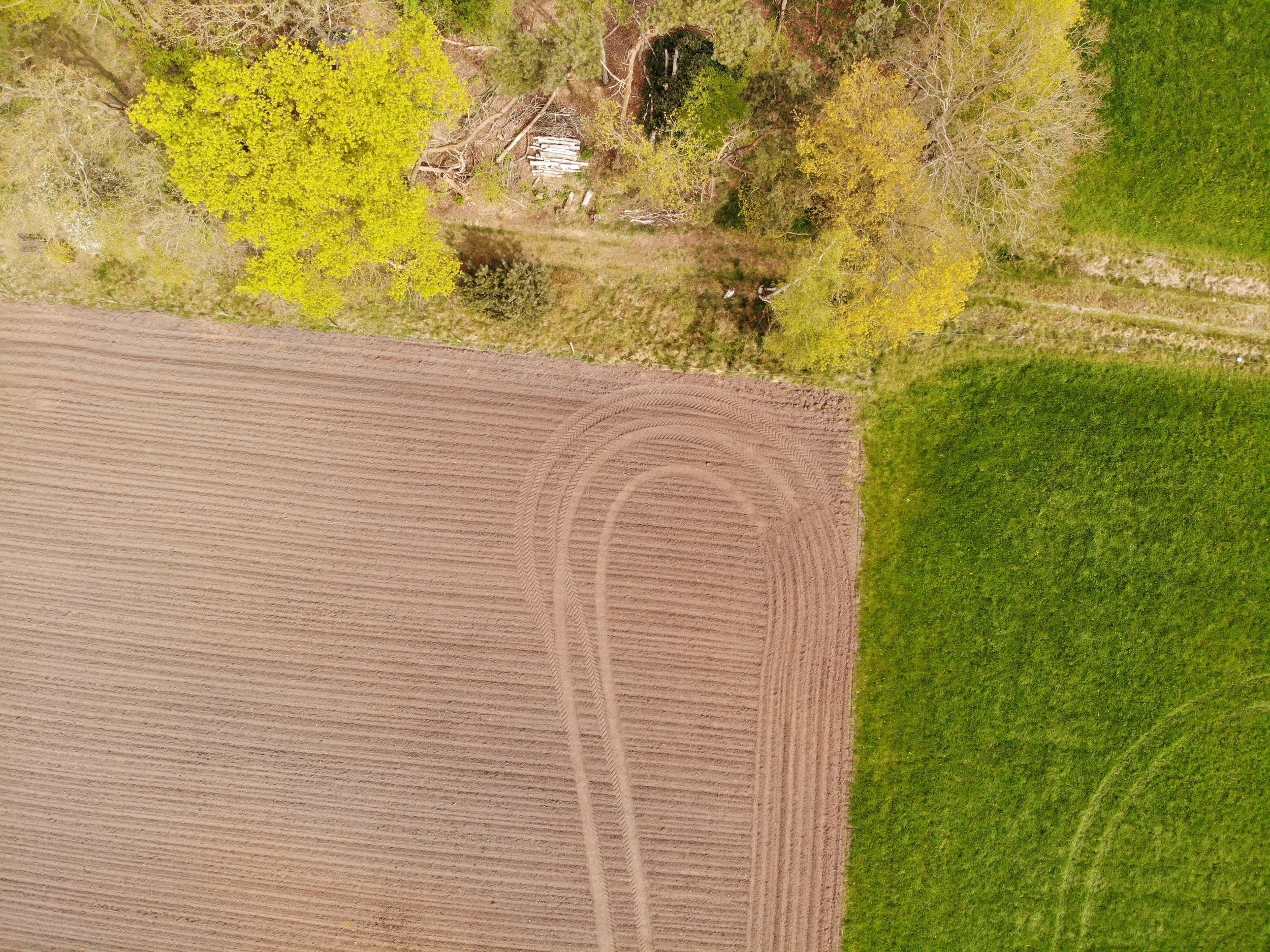
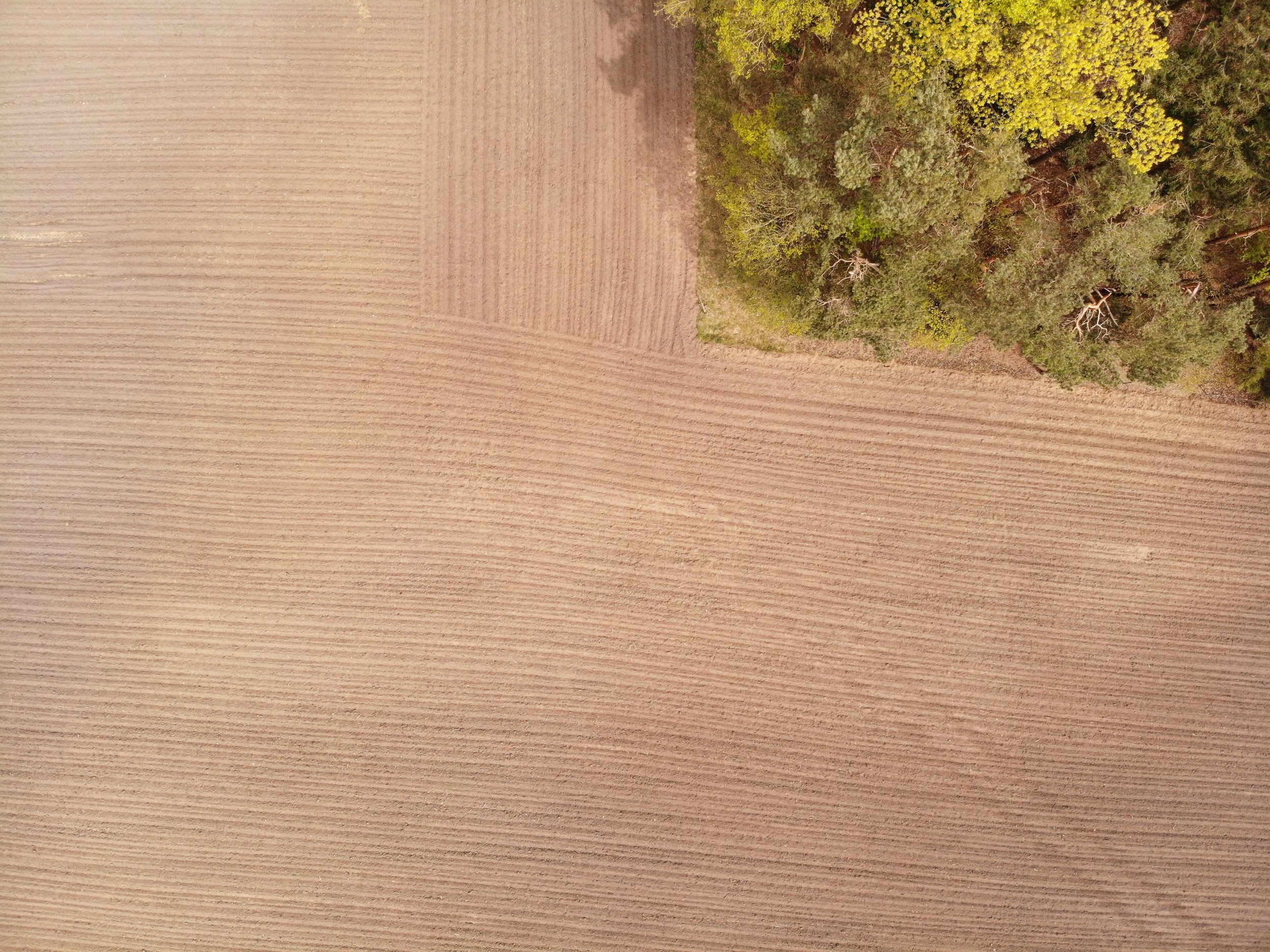
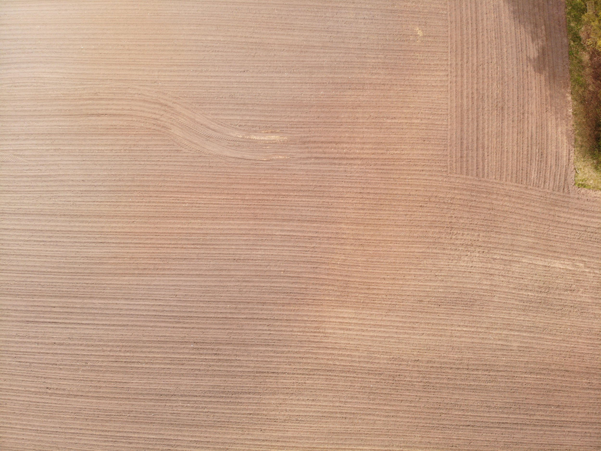
A drone image of the research area, soil image, flying height: 50.
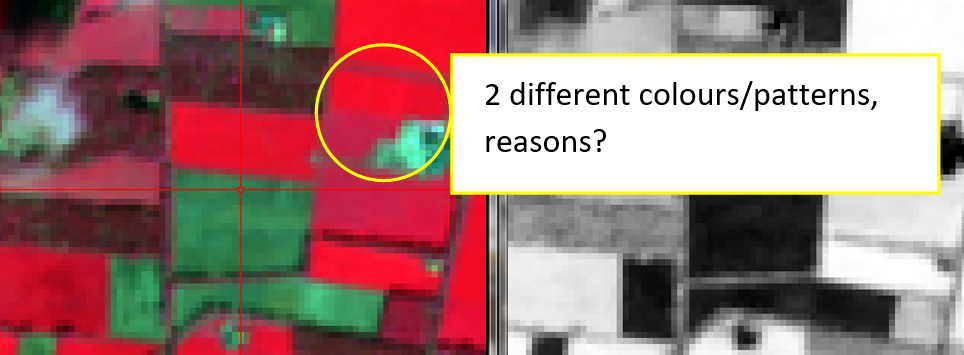
Sentinel-2, False-color composite (8,4,3), 27 April 2022, Europe’s Copernicus Programme.

Aim:
Saxion Students Smart Solutions Semester from project ‘’AgriWatch Drought Monitoring Platform’’ had a tour of the demonstration on 29 April 2022.
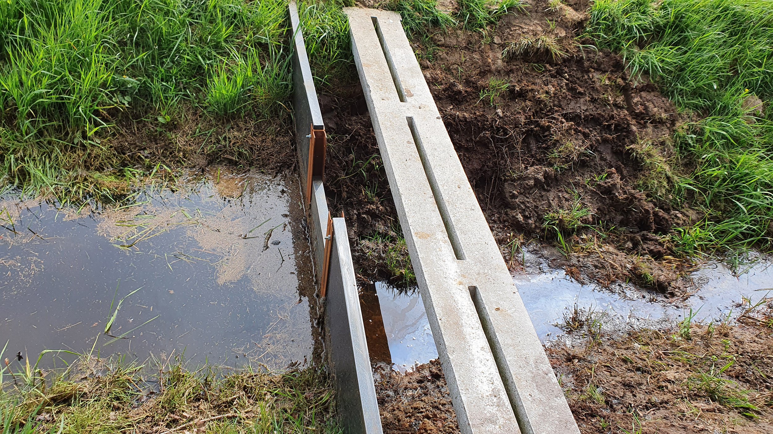
Water management at the farm level: a new installed Water Gate in the ditches by the Waterschap is based on the three years of cooperation between AgriWatch and the research farm for rainwater harvesting.
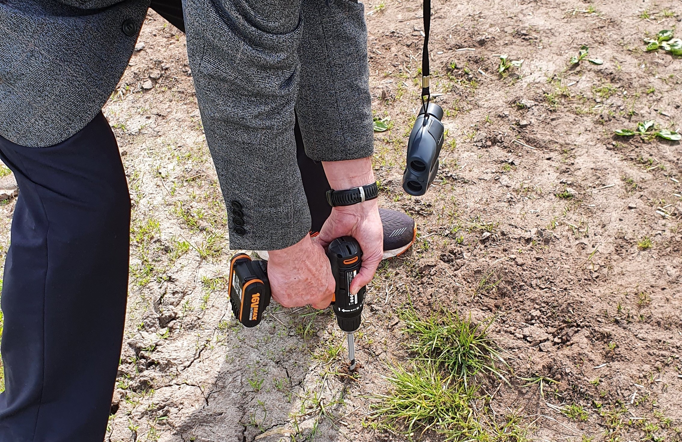
Soil reference drilling & drone image acquisition.
Build more water retention areas. These can be made by water authorities in collaboration with farmers. In this way, both parties can get what they want. Besides building more water retention areas, building weirs (stuwen plaatsen) in the ditches along the farmers' land can be a good solution. These weirs like the ones installed by Waterschap in the research Farm (three years of cooperation with the farmer) can be controlled by the farmers themselves and help keep the water level as well as the groundwater level high enough, so the roots of the plants can reach the water even when it is dry.

The Orthomosaic of images captured on April 29, 2022, 2 cm resolution (Ground sampling Distance)


Related news
RTV Oost nieuws • 29 april 2023
Boer Geert verdient geld met zijn bodem: https://www.rtvoost.nl/nieuws/2221097/boer-geert-verdient-geld-met-zijn-bodem
Field location

The location of Maize#1; is in the sandy soils of the Eastern part of The Netherlands