SmartAgriDrought.
In the past few years, drought has had a significant impact on the growth of most arable crops in the Eastern part of the Netherlands. Satellite and drone images are used to monitor the state of drought and drought-affected grassland/maize.


AgriWatch offers Geospatial services for smart farming with an emphasis on the effects of climate change resulting in drought conditions. It focuses on affordable remote sensing data acquisition and monitoring services by integrating remote sensing platforms (satellite, drone, and ground) and tools, GIS (maps) data, and expert knowledge.
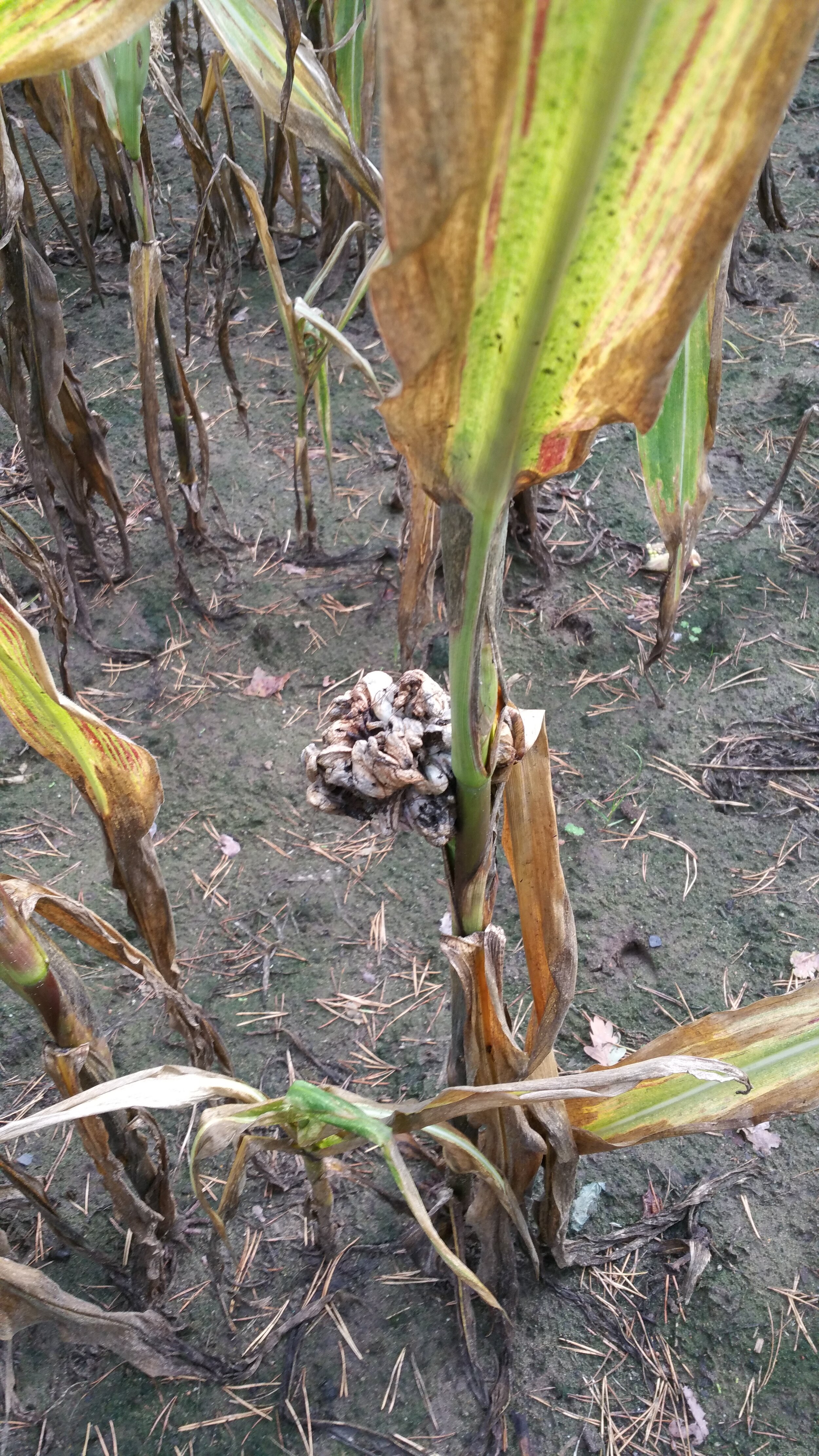
In the pictures below the effects of drought on maize (corn) plants in non-irrigated cropland in the Twente region are shown.
Drought-stressed corn,
leaf death,
weed,
diseases of plants and a specific mold in the maize fields hindered the crop’s pollination,
kernel abortion.